Sat.
25 March: Morris Island
 |
| Chute des Chats in 1838 |
Note: click on pictures for full size view.
Chute des Chats – what fun
that is to say!
Our fascinating walk near Arnprior today prompted me to read up on the Ottawa
River. Just downstream from where our
hike started, was once a magnificent waterfall. Here the river dropped thirty five feet in a
series of chutes. In English it was called
Cat Falls, but it sounds much better in French.
Then in the late 1920’s a great hydro dam was built (completed in 1932) stretching
right across the river, and destroying the falls. Upstream from the dam, a lake was created,
called Lac des Chats. The land was flooded, forming several small
islands, which are today part of Morris Island Conservation Area.
Apparently, in the nineteenth century, paddle steamers would make their way
up river from Ottawa filled with sightseers wanting to see the falls. An eight kilometre-long horse-drawn railway
took them through the dense forests to the section of river upstream of the
falls.
The Ottawa River runs for 1,271 kilometres in a great loop from the Laurentian
Highlands all the way down to the St. Lawrence River at Montreal, forming a
long section of the Quebec-Ontario border.
It’s hard to believe that this magnificent river ranks only thirteenth
in Canada for length. Over the first
part of the 20th century, the river was tamed by a series of hydro
dams, the Chats Falls Dam being one such project.
For over two hundred years the voyageurs would use the Ottawa River to
carry furs down to Montreal, facing eighteen portages along the way – one of
the toughest being here at Chute des Chats.
Many years earlier, in 1613, Samuel de Champlain canoed past here. I also learned that, after the last ice
age, the Great Lakes used to discharge via the Ottawa River before the land
rose and the water then found a different route, down the St. Lawrence River.
Enough of ancient history! But
that’s a good example of how there’s always more to a good hike than simply
walking along a trail.
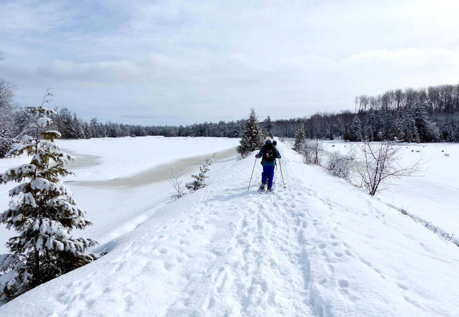
A causeway runs straight as an arrow along the southern edge of the
park. Various loops and side trails wander
through the forest to good viewpoints of Lac des Chats, the Quebec shoreline,
and the hills beyond. Our team of
thirteen hikers was not alone. We met a couple
of cross-country skiers enjoying the spring-like conditions, as well as passing
a handful of other walkers. As far as I recall,
we saw no wildlife and few birds, but they had plenty of notice of our approach!
It was a perfect sunny morning, with the fresh snow tumbling off the
branches as we passed through the trees.
And since we had driven over eighty kilometres from Perth to get here, we
had a very good reason to stop on our way home to enjoy a meal at the friendly
Centennial Café in Pakenham village – recommended to all passers-by.
And that was one luxury not available to Champlain or the voyageurs!
 |
| The same location today: Chats Falls Dam (1932) |
 |
| On the causeway... |
 |
| ...on a perfect morning |
 |
| Heading into the woods |
 |
| Chats Falls Dam and the Quebec shore |
 |
| One of several great viewpoints |
 |
| Probably the day's best viewpoint... |
 |
| ...with a close-up view of Quebec and Gatineau Hills |
 |
| OCRR/CN rail bridge crossing into Quebec: rails fairly recently pulled up |
 |
| Nobel-prize winning words on a view-point bench |
 |
| Highly recommended for friendly service |
 |
| Morris Island Conservation Area: our 6.6km route today |


No comments:
Post a Comment